Hawaiʻi Island · January 2018, January 2022, and February 2024
Hawaiʻi Island is the youngest island in the chain and by far the biggest: about 4,028 square miles, nearly twice the size of all the other Hawaiian Islands put together. Five volcanoes built it, and two of them, Kīlauea and Mauna Loa, are still adding land.
It is also where modern Hawaiʻi begins. Kamehameha, the chief who united the islands, was born in North Kohala. Captain Cook died at Kealakekua Bay. And a little over a century after Kamehameha built a kingdom, that kingdom was gone. The photos here are the postcard. The small print under each one is the rest of the story.
Tap a numbered pin on the map to jump to that stop.
The RouteA loop, starting in Kona
Hawaiʻi Island drawn from real elevation data (AWS Terrain Tiles, built from USGS and other public sources). Contour lines every 1,000 feet, bold every 5,000 feet. Roads are simplified and pins are approximate. Tap a pin to jump to that stop.
Some backgroundBefore the stops
How a kingdom became a vacation
The short version, from a king born in Kohala to a state where more Native Hawaiians now live away than at home.
A short history of the island
Around 1758
Kamehameha is born in North Kohala, near ʻUpolu Point.
February 14, 1779
Captain James Cook is killed at Kealakekua Bay, a year after his first landing at Waimea on Kauaʻi. (The Waimea up in this island’s ranch country is a different town.)
1810
Kamehameha finishes uniting the islands into one kingdom.
1848 and 1850
The Māhele turns land into private property, and a new law lets foreigners buy it. By the end of the century, foreigners and large estates own most of the land that isn’t government land.
1893
American and European businessmen, backed by U.S. Marines, overthrow Queen Liliʻuokalani.
1896
The new republic makes English the language of instruction in every school.
1897 and 1898
More than 21,000 Hawaiians sign petitions against annexation, and the treaty fails in the Senate. Congress annexes Hawaiʻi anyway, by a simple joint resolution.
1959
Statehood. Tourism soon replaces sugar as the islands’ business.
1964
The Army leases about 23,000 acres of state land on this island for 65 years, for $1.
1983 and 1987
Hawaiian-language teachers start the Pūnana Leo preschools. Four years later, Hawaiian is allowed back as a language of instruction in public schools.
1993
Congress formally apologizes for the overthrow.
2019
Thousands gather to block the road up Mauna Kea and stop another telescope on the summit.
2020
For the first time, the census counts more Native Hawaiians living outside Hawaiʻi than in it.
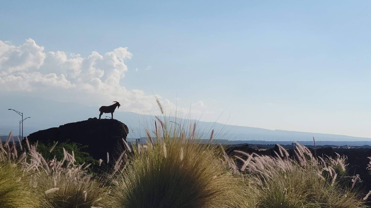
Lots of goats around Waikoloa, and a few donkeys too. This one found the best seat in the house.
The first goats came as gifts from European ships in the 1700s. Gifts from ships have a way of staying.
Goats and donkeys
Goats
Not native. They arrived on European ships in the late 1700s and went wild across the islands, where they eat native plants down to the ground.
Donkeys
The Waikoloa donkeys descend from the “Kona Nightingales,” donkeys brought in during the early 1900s to haul coffee on Kona’s steep farms. The nickname came from their braying at night.
Out of work
After World War II, jeeps and tractors took over the hauling, and many donkeys were turned loose.
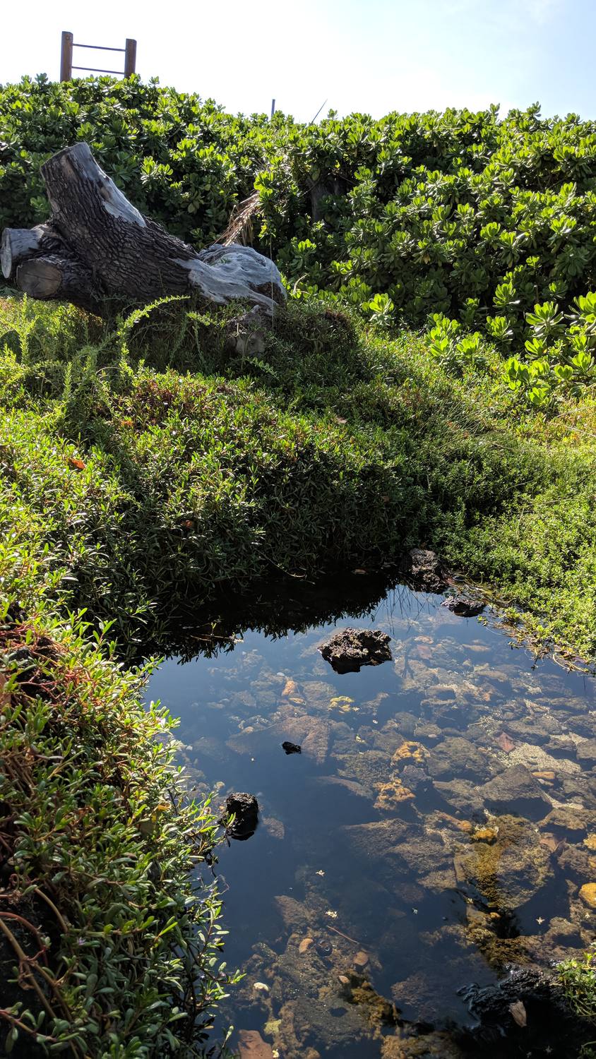
It looks like a puddle. It is actually one of the rarest habitats in Hawaiʻi.
Chiefs once raised fish in the royal ponds just behind this beach. Today the ponds sit inside a resort.
Anchialine pools
What they are
Pools in the lava near the shore, fed from underneath by fresh groundwater and by seawater seeping in through the rock. The water is brackish and rises and falls with the tide.
Who lives here
Tiny red shrimp called ʻōpaeʻula, along with small fish and snails. Hawaiians used the shrimp as bait and fish food.
Protected
The Waikoloa Anchialine Pond Preservation Area was set aside in 1985.
Next door
Kuʻualiʻi and Kahapapa, two old Hawaiian fishponds right behind the beach.
Look only
Don’t swim, wade, or put hands in. Sunscreen and soap harm the shrimp.
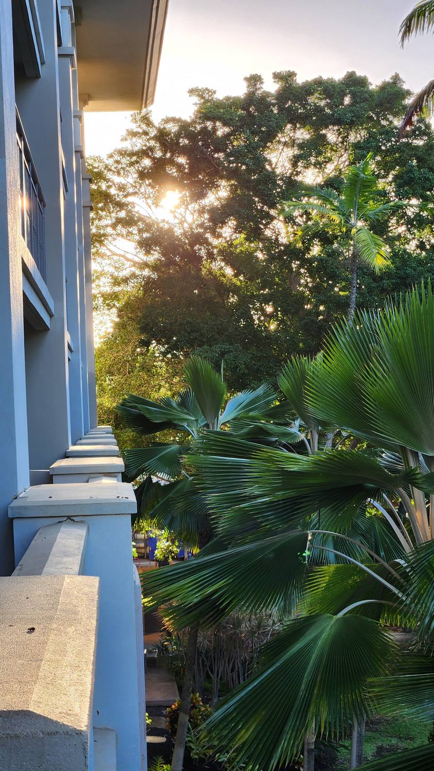
Sunrise from the balcony. The beach out front is where I sat and watched the whales.
Housing in Hawaiʻi costs about three times the national average. In 2020, for the first time, more Native Hawaiians lived on the mainland than in the islands.
Whales seen: lots 🐋 Favorite moment ever: this one
No photos, just the memory. Humpbacks from the beach at the hotel, again in Hilo, and again at sunset up at Lapakahi. Hard to top.
From 1840 to 1860, more than 400 whaling ships a year put in at Hawaiian ports. The whales came back. That part of the story has a happy ending.
Humpback season in Hawaiʻi
When
The first whales show up in late November. The peak is January through March, and most are gone by April.
Why here
They spend summer feeding in Alaska and come to warm, shallow Hawaiian water to mate, give birth, and raise their calves.
The count
The Sanctuary Ocean Count happens every year on the last Saturday of January, February, and March. Anyone can volunteer to count from shore. On February 28, 2026, volunteers counted 1,935 whales statewide, 244 of them off Hawaiʻi Island.
Give them room
Federal rules require staying at least 100 yards from humpbacks in Hawaiʻi, on the water and in the air.
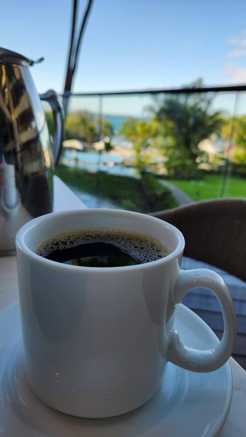
Breakfast at the Mauna Kea Beach Hotel. Coffee, the ocean, and nowhere to be.
The hotel is named for the mountain behind it. In 2019, thousands of people, many of them elders, blocked the road up that mountain for weeks to stop one more telescope from going on its sacred summit. They called themselves kiaʻi: protectors.
The Mauna Kea Beach Hotel
Opened
July 1965, the first resort on the island.
The origin story
Laurance Rockefeller decided to build here while swimming in Kaunaʻoa Bay.
The price tag
About $15 million for 154 rooms, which made it the most expensive hotel ever built at the time. Esquire called it one of the three greatest hotels in the world.
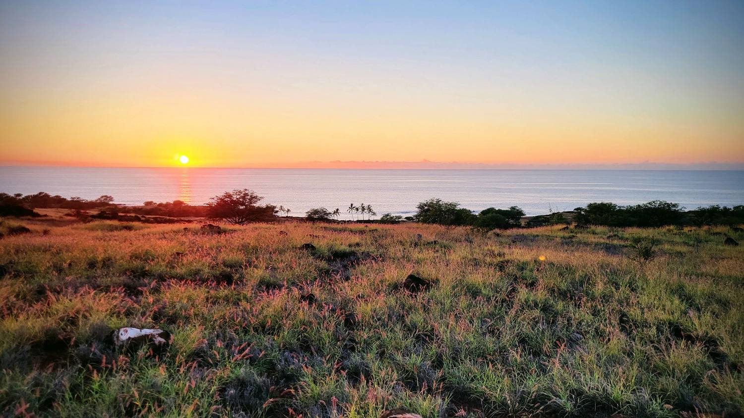
The sun going down over the Kohala Coast, where I watched whales at sunset.
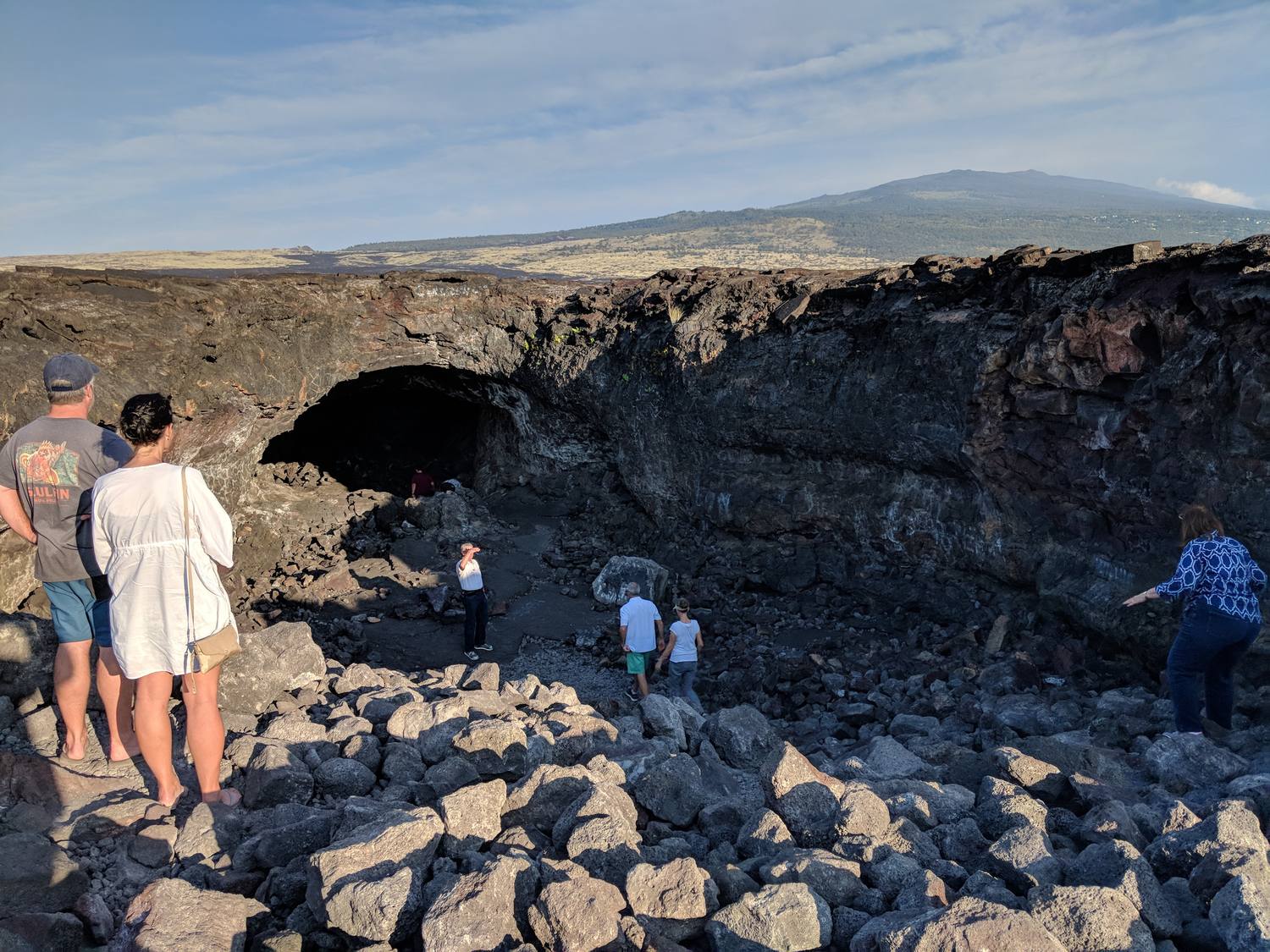
For 600 years this land was shared, each village with its own slice from the mountains to the sea. In 1848 it became property that could be bought and sold. By 1900, foreigners and big estates owned most of the private land.
Lapakahi State Historical Park
What it is
A partly restored Hawaiian fishing village more than 600 years old, with stone walls, house sites, canoe sheds, and fishing shrines along a one-mile loop trail.
How it worked
The village was part of an ahupuaʻa, a slice of land running from the mountains down to the sea, so one community had farmland, forest, and fishing grounds.
Why it emptied
The freshwater table dropped in the 1800s, and the village was abandoned.
Offshore
A Marine Life Conservation District, and a good place to look for whales in winter.
Up the road
Kamehameha’s birthplace, near ʻUpolu Point at the island’s northern tip.
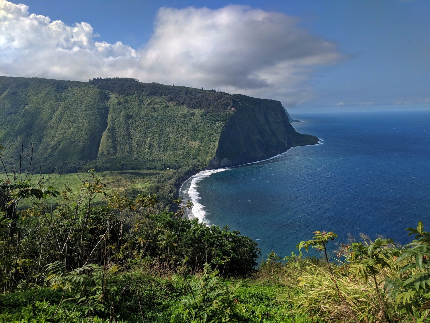
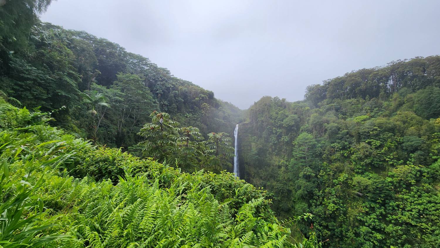
Cliffs, a black-sand beach, and a valley floor that used to hold thousands of people.
Kamehameha grew up down there. A century after he united the islands, there was no Hawaiian king anywhere.
Waipiʻo Valley quick facts
History
Once the political and religious center of the island and the boyhood home of Kamehameha. Thousands of people lived here. Today fewer than 100 do.
1946
The April 1 tsunami sent waves about 55 feet high into the valley. Many farmers never came back.
Visiting now
The lookout is open. The steep road down has been closed to visitors since 2022 because of rockfall; only residents, permitted tours, and Native Hawaiian practitioners can use it. I went in 2018, before the closure, and only looked from the top.
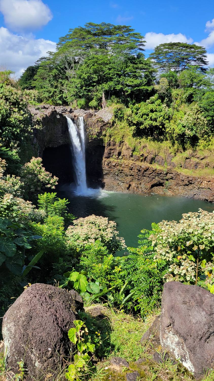
Waiānuenue means “rainbow water.” From 1896 to 1987, Hawaiian was not a language of instruction in the public schools, and by 1985 only 32 children under 18 spoke it. Then a few teachers refused to let it go. In 1983 they started the Pūnana Leo, preschools run entirely in Hawaiian, and today kids learn in Hawaiian again.
Waiānuenue quick facts
The name
Waiānuenue means “rainbow water.” On sunny mornings around 10 a.m., rainbows form in the mist.
Size
About 80 feet tall, on the Wailuku River.
The legend
The lava cave behind the falls is said to be the home of Hina, mother of the demigod Maui.
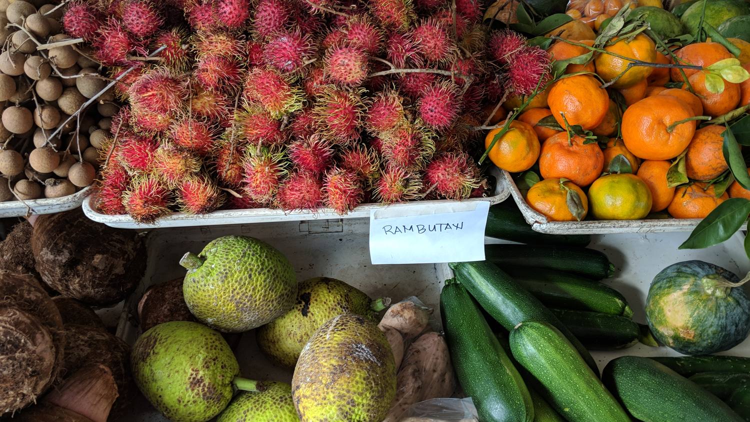
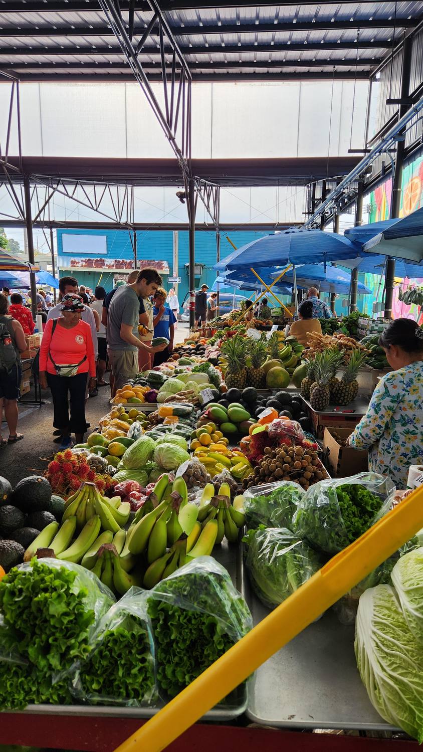
All this fruit, and Hawaiʻi still imports about 85 to 90 percent of its food.
On the table
Rambutan
The red, hairy ones. The name comes from the Malay word for hair. Peel it and the inside is sweet and white, a lot like a lychee.
ʻUlu (breadfruit)
The big green globes. A canoe plant, carried to Hawaiʻi by Polynesian voyagers and eaten steamed, baked, or boiled, a lot like a potato.
Kalo (taro)
The brown roots. Pounded into poi, and Hawaiʻi’s official state plant since 2025.
Also here
Tangerines, longan, and zucchini.
The market
Started in 1988 by Richard “Mike” Rankin and four other farmers selling out of their trucks. It now has more than 200 vendors. Wednesdays and Saturdays are the big days.
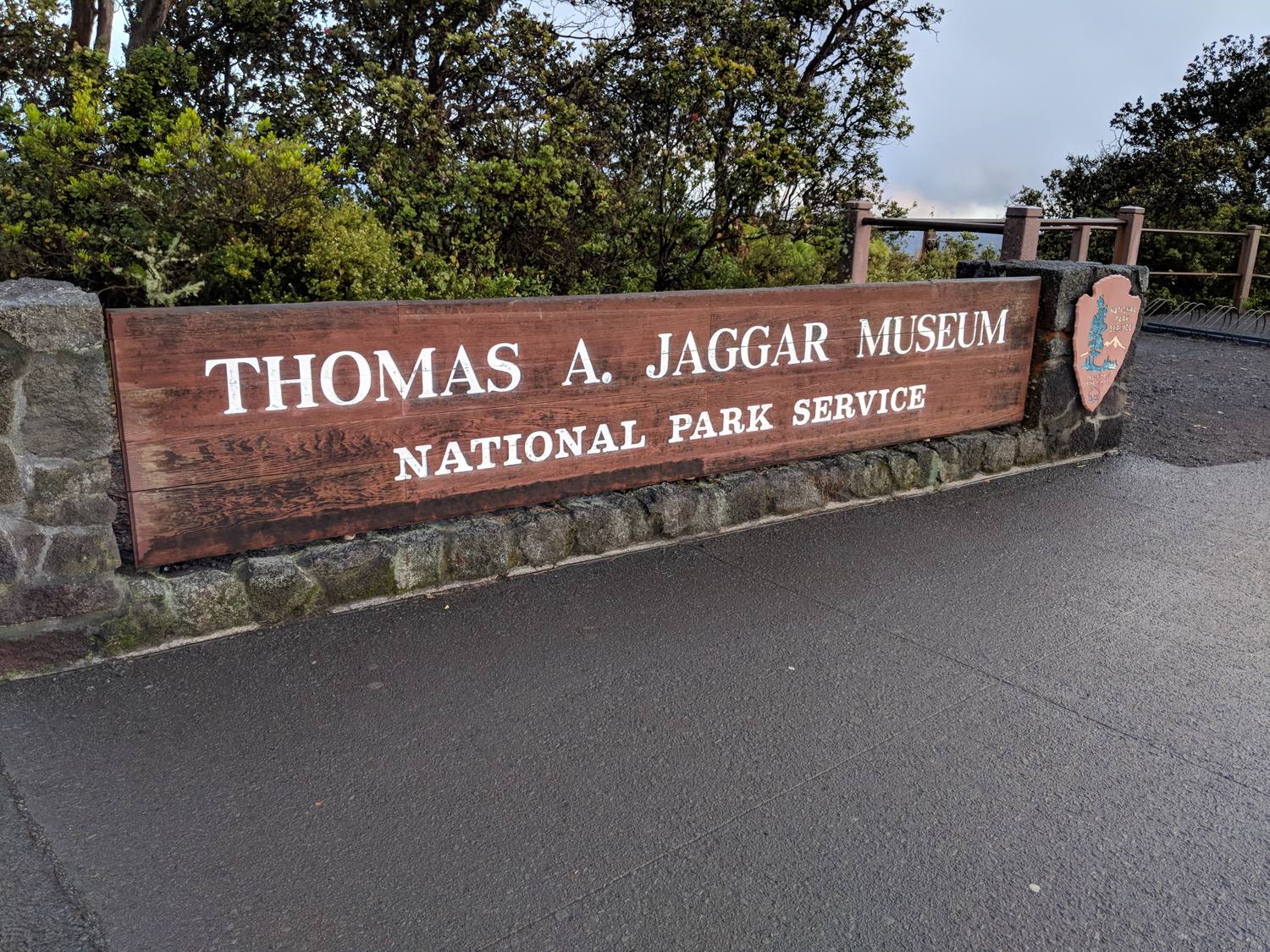
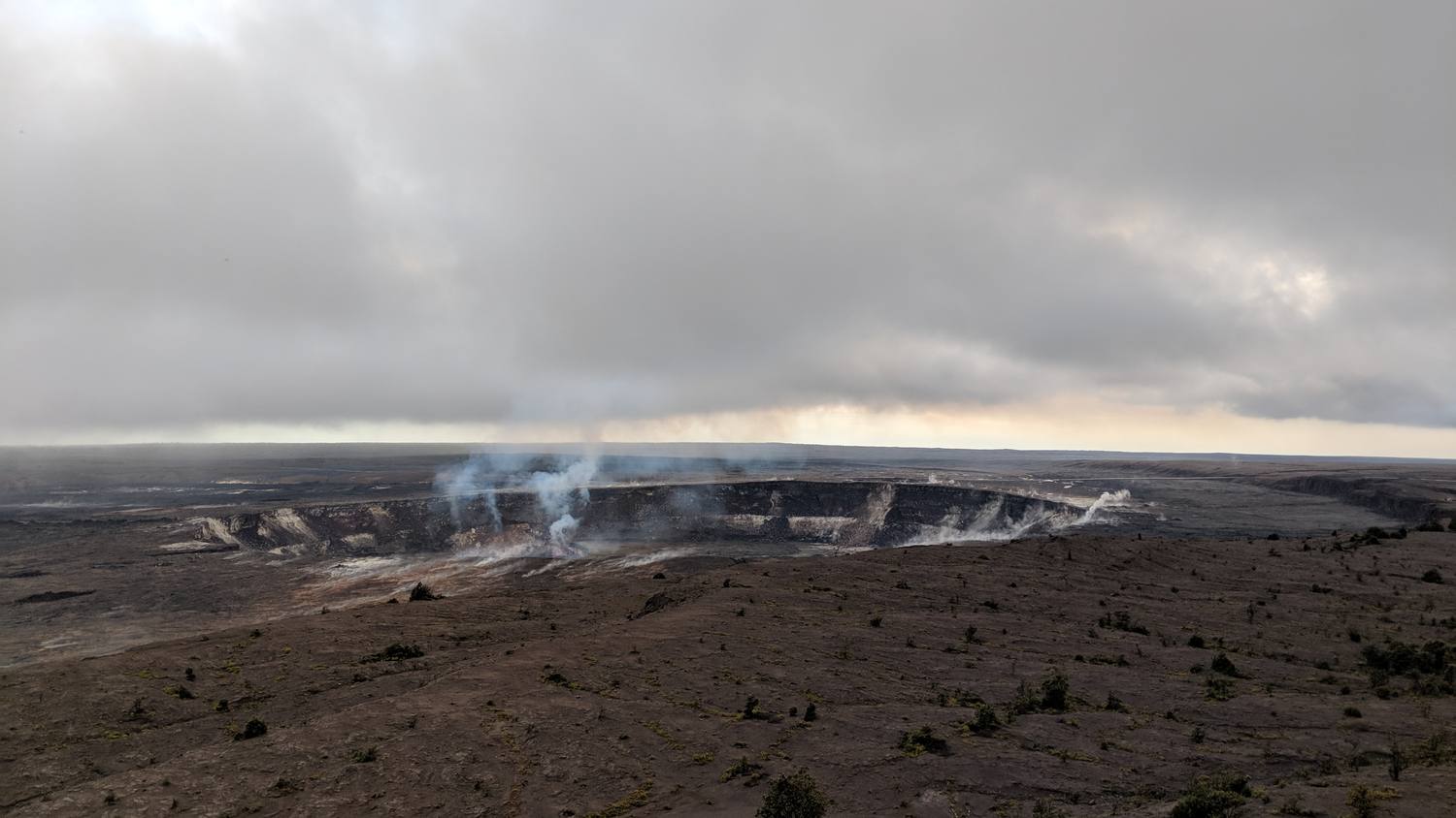
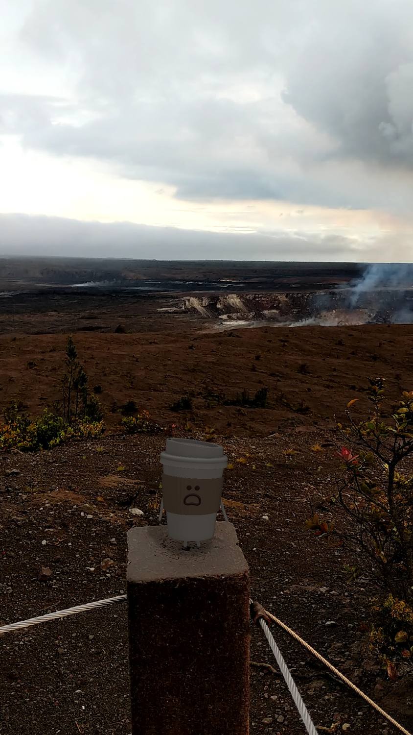
The Jaggar Museum, on the caldera rim. Four months later it closed for good.Halemaʻumaʻu crater from the overlook, steaming under a heavy sky.Coffee on the rail, waiting for it to get dark.
1 of 3
Waiting for dark at the volcano
Waiting at the Jaggar Museum overlook for the crater to start glowing.
The park was created in 1916, when Hawaiʻi was a territory with no vote in the Congress that created it.
Kīlauea quick facts
What it is
One of the most active volcanoes on Earth, inside Hawaiʻi Volcanoes National Park.
Halemaʻumaʻu
The crater inside the summit caldera. In Hawaiian tradition it is the home of Pele, goddess of volcanoes.
The museum
The Jaggar Museum’s last day open was May 11, 2018. The 2018 collapse damaged it beyond repair, and it was taken down in 2024.
Visiting now
The restored Uēkahuna overlook, where the museum used to stand, reopened in 2025.
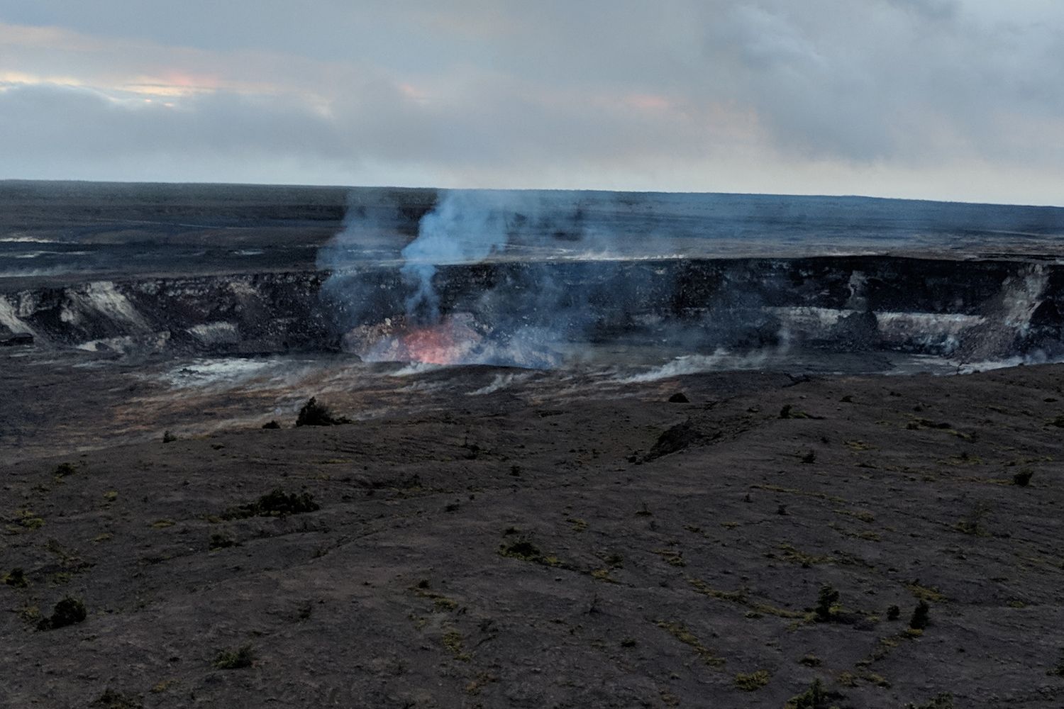
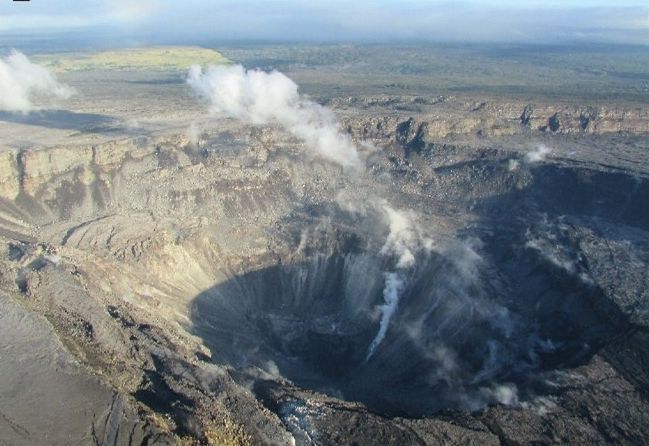
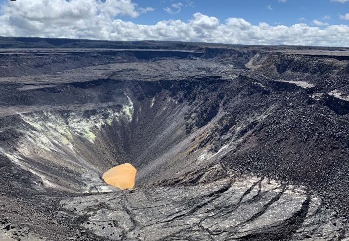
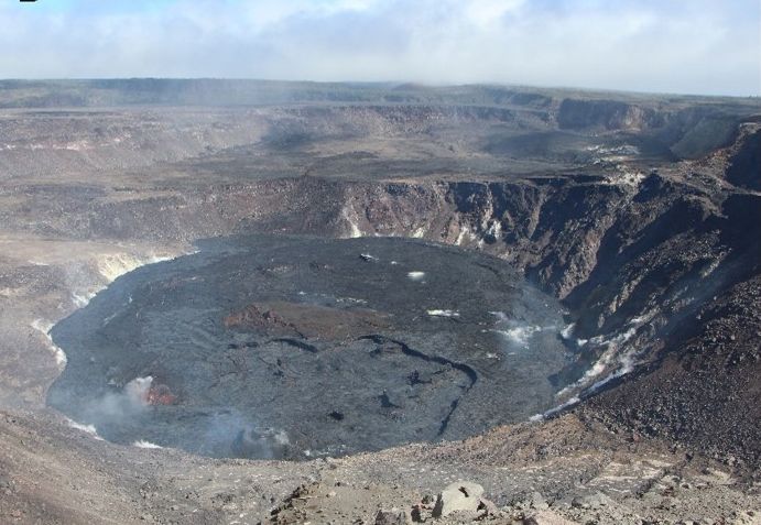
🔍Then and now. My photo from January 2018, then what happened to the same crater afterward. Tap the dates.
USGS photoUSGS photoUSGS photo
The lava lake, four months before it vanished
Just before dark on January 10, 2018. That orange glow is the lava lake inside Halemaʻumaʻu, active since 2008 and one of the biggest sights in the park. Nobody standing here knew it had four months left.
In Hawaiian tradition this crater is the home of Pele, and the land is hers before it is anyone’s. In 2018 she added 875 acres and took back more than 700 homes.
The 2018 eruption in numbers
When
May through August 2018, on the lower East Rift Zone in Puna and at the summit.
The lake
Began draining in early May and was gone from view by May 10.
The crater
Dropped from about 280 feet deep to about 1,600 feet, and more than doubled in width.
Homes
More than 700 destroyed, and more than 2,000 people displaced.
New land
875 acres added to the island.
Earthquakes
More than 60,000 between May and August.
Later photos: USGS Hawaiian Volcano Observatory (public domain)Link to this post
Status updateFebruary 9, 2024, 10:06 a.m.
Earthquakes felt: 1 📳 How long it lasted: lonnnng
I was working, recording the last speaker at a conference, when it hit. My first earthquake, and it went on much longer than I expected.
The islands are slowly sinking under their own weight. Geologically speaking, that is what I felt.
What it was
Size
The first alert said magnitude 6.3. The USGS Hawaiian Volcano Observatory later put it at 5.7.
Where
About a mile southwest of Pāhala, in Kaʻū on the south side of the island, 23 miles underground.
Felt
Across Hawaiʻi Island and Maui and on parts of Oʻahu. Instruments recorded very strong shaking near the center, but no damage was expected.
Why it happened
Not the volcanoes. The sheer weight of the islands bends the ocean plate underneath them, and deep quakes like this one release that strain.
Tsunami
None. Hawaiʻi’s emergency agency said so right away.
Details checked September 2026. Volcano conditions and road access change quickly, so check with the park and the county before you go. Map elevation: AWS Terrain Tiles (Mapzen / USGS).