People have lived in Yosemite Valley for thousands of years. The Ahwahneechee called it Ahwahnee. In 1864, in the middle of the Civil War, Abraham Lincoln signed the Yosemite Grant and set the valley aside for preservation and public use, the first time the U.S. government had ever done that. The idea behind every national park since started here. So did the question of who the public was.
Photographers were part of it from the beginning. Carleton Watkins’s pictures of the valley helped convince Congress, and decades later Ansel Adams made its cliffs and waterfalls famous around the world.
The photos here are the postcard. The small print under each one is the rest of the story. Tap a numbered pin on the map to jump to that stop.
The RouteWest to east
Simplified map of Yosemite Valley and Highway 140. Contour lines every 250 feet, bold every 1,000 feet, drawn from known summit and valley elevations. Pins are approximate. Tap a pin to jump to that stop.
Some backgroundBefore the stops
How Yosemite became Yosemite
The quick version: who lived here, who took charge, and who decided what the park was for.
A short history of the valley
Thousands of years
The Ahwahneechee live in the valley they call Ahwahnee. Miwok, Mono, and Paiute people travel and trade through the area.
1851
The Mariposa Battalion, a state militia raised during the Mariposa War between Gold Rush settlers and Native people, attacks the Ahwahneechee in the valley and marches Chief Tenaya’s people toward a reservation. Many slip away and return.
June 30, 1864
Abraham Lincoln signs the Yosemite Grant, setting the valley aside “for public use.” Ahwahneechee families are still living in it.
1868
John Muir walks in from San Francisco and makes Yosemite his life’s cause.
1891 to 1913
The U.S. Army runs the park. In 1903 the troopers on patrol are Buffalo Soldiers of the 9th Cavalry.
1913
Over Muir’s years of protest, Congress lets San Francisco dam Hetch Hetchy, a second glacier valley inside the park, for city water.
1916
The National Park Service is created. That same summer, a 14-year-old Ansel Adams makes his first trip to the valley.
1953 to 1969
A new rule lets only year-round park employees live in the park. As Native families leave the valley’s Indian Village, their cabins are torn down or burned. The last family is gone by 1969.
2016 to 2019
A hotel company that lost its contract claims it owns the trademarks to the park’s historic names. The Ahwahnee and Curry Village are renamed for three years, until a $12 million settlement brings the names back.
2020
The Sierra Club, which Muir founded, publicly reckons with his derogatory remarks about Native and Black people.
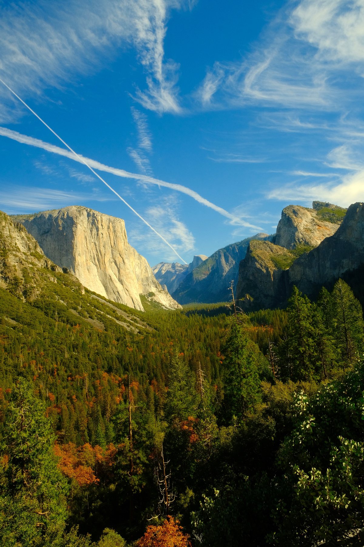
The view everyone pulls over for: El Capitan on the left, Half Dome in the middle, Bridalveil Fall on the right.
“Yosemite” comes from a Miwok word usually translated as “they are killers.” It is what the neighbors called the people who lived here, and it is the name the soldiers kept.
Tunnel View quick facts
Built
1933, together with the Wawona Tunnel right behind it.
The tunnel
4,233 feet long, the longest highway tunnel in California. Workers bored it through solid granite in about two years.
Getting there
On Wawona Road (Highway 41), at the east end of the tunnel. From Highway 140, it’s a short climb up Wawona Road.
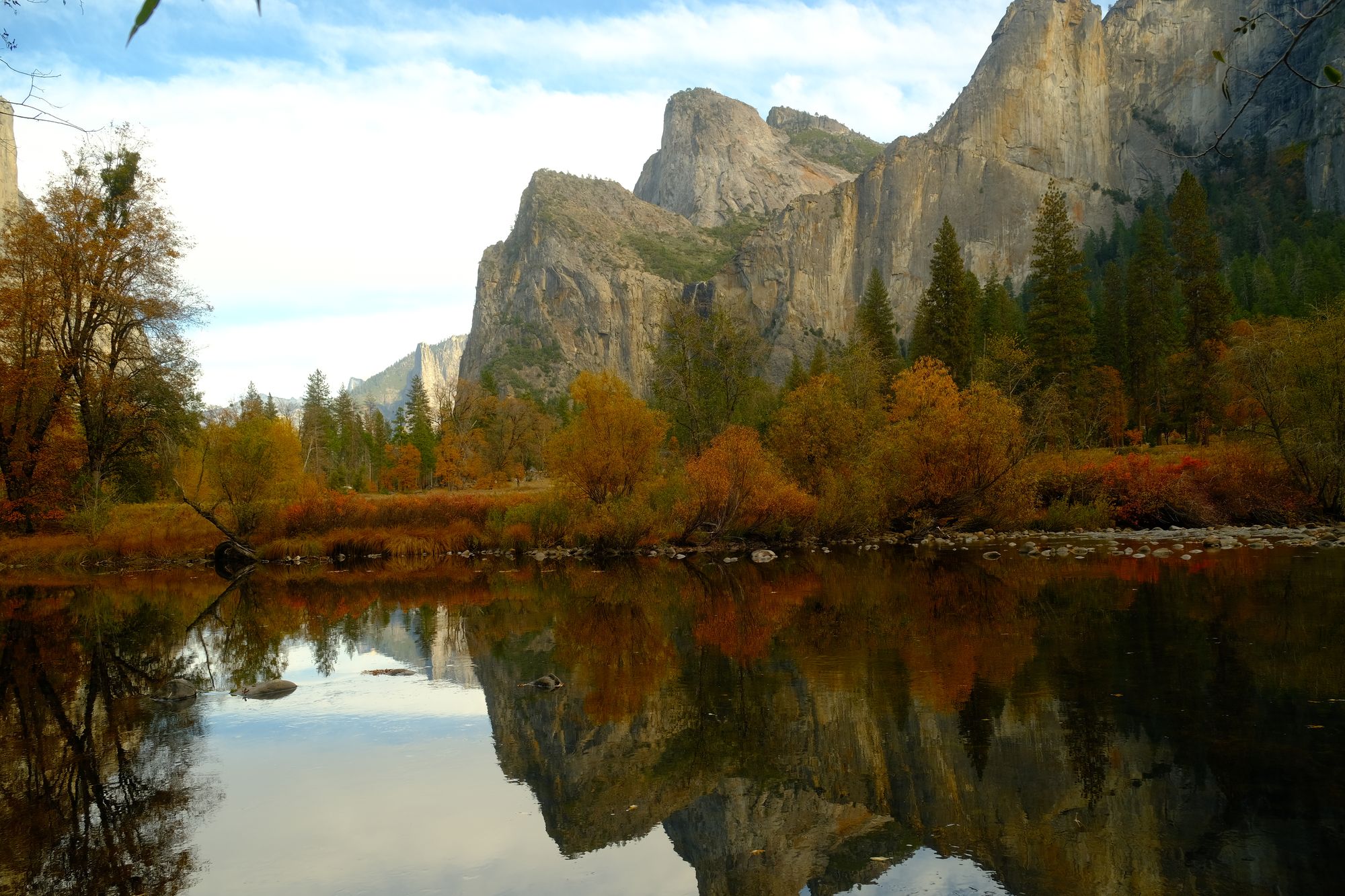
A river-level view where the water slows down enough to hold a reflection of the whole scene.
Yosemite had a twin: Hetch Hetchy, another glacier valley with its own river. In 1913 Congress let San Francisco dam it for drinking water. It is still underwater.
Valley View quick facts
Also called
Gates of the Valley.
What you see
El Capitan, Cathedral Rocks, Sentinel Rock, and Bridalveil Fall, with the Merced in front.
Where
A small pullout on Northside Drive near the west end of the valley, by Pohono Bridge. Restroom, wheelchair accessible.
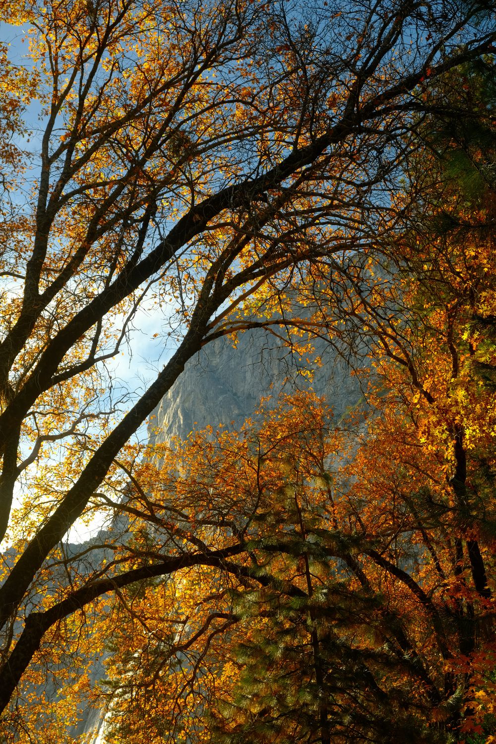
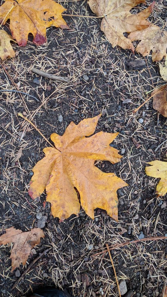
California black oaks turn gold on the valley floor from late October into November. In the fall, acorns are a favorite food of the park’s bears.
These oaks were the valley’s pantry. Black oak acorns were a staple of the Ahwahneechee diet, and they burned the valley floor to keep the oaks healthy. When the burning stopped, the conifers crowded in.
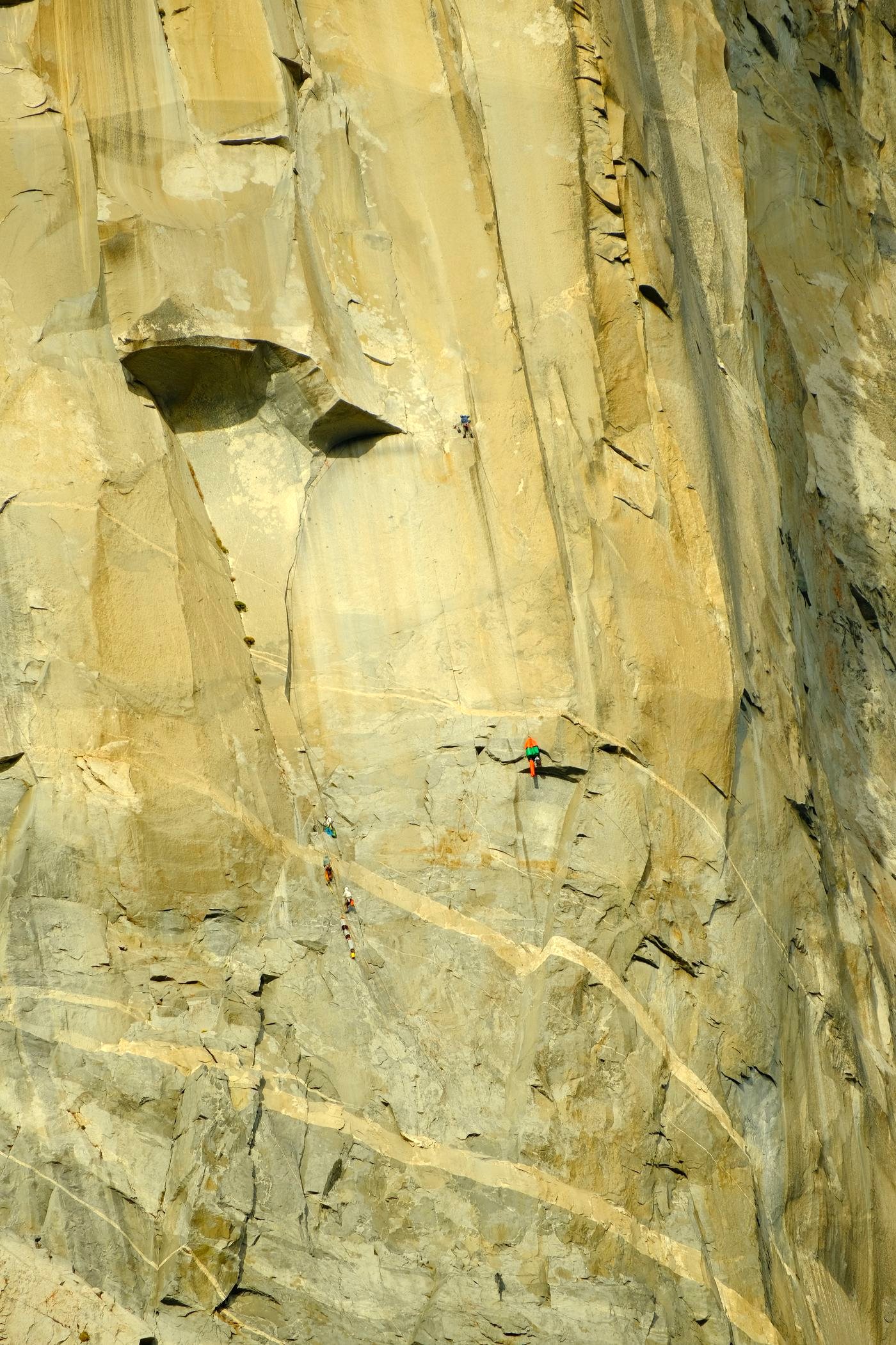
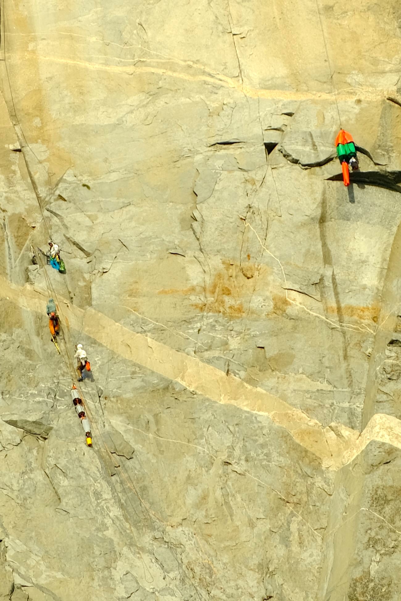
🔍Interactive photo. Tap the picture or use the buttons to zoom from the whole cliff down to the climbers.
Climber + haul bag
Climber
Climber
Climber
Haul bags
18mm258mmCropped
Find the climbers
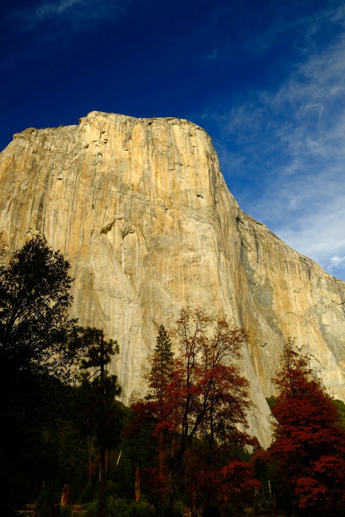
El Capitan rises about 3,000 feet straight up from the valley floor. From the road it looks like a wall of warm granite. See the little orange box? Tap to zoom in on it.
El Capitan quick facts
Height
About 3,000 feet from base to summit on its tallest face. The summit sits at 7,569 feet above sea level.
The name
Given by the Mariposa Battalion in 1851, a loose Spanish rendering of the local Native name for the cliff. It means "the captain" or "the chief."
Climbing it
Most parties take several days, sleeping on the wall. The fastest climbers do it in a couple of hours.
No ropes
On June 3, 2017, Alex Honnold climbed El Cap with no rope or safety gear at all, up the Freerider route in 3 hours and 56 minutes. The documentary about it, Free Solo, won the Oscar for best documentary.
Where to watch
El Capitan Meadow, along Northside Drive. Binoculars help a lot.
Watch live
Yosemite Conservancy runs an El Capitan webcam from a dome near the Wawona Tunnel.
Seasonal closures
Some routes close each spring for nesting peregrine falcons, roughly March through mid-July.
Climbers have their own history of pushing back. In 1997 the park planned new dorms next to Camp 4, the climbers’ campground. Climbers sued, and in 2003 Camp 4 went on the National Register of Historic Places.
Most of this trip I shot with a small kit zoom. For this I switched to a long 70-300mm lens. At the long end, it takes a patch of wall that’s smaller than your thumbnail in the wide shot and fills the whole frame with it.
That’s the only reason these climbers show up at all. It’s one of my favorite finds of the whole trip.
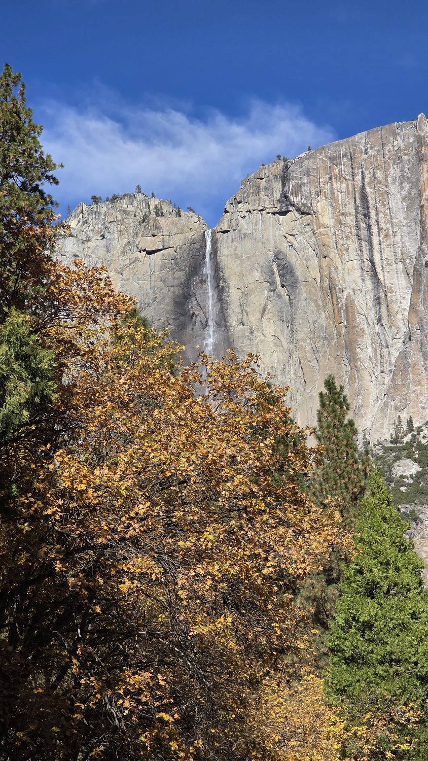
Upper Yosemite Fall in late fall, down to a ribbon. The falls run on snowmelt, so what you see depends entirely on the season.
For almost a century the valley had a second, man-made waterfall: a bonfire pushed off Glacier Point on summer nights so hotel guests could watch the embers fall. The Park Service ended it in 1968.
Yosemite Falls quick facts
Total drop
2,425 feet, the tallest waterfall in North America.
Three parts
Upper fall 1,430 feet, middle cascades 675 feet, lower fall 320 feet.
When it flows
Roughly November through July, peaking in May. Often a trickle or dry by August. Fall storms can bring it back.
Easy walk
A one-mile loop trail leads to the base of Lower Yosemite Fall.
Moonbows
On clear spring nights near a full moon, moonlight makes a rainbow in the mist. John Muir wrote about them. To the eye it looks silver; a long exposure shows the color. How to see one.
You can’t point a camera at Yosemite without thinking about Ansel Adams. Almost every view in this feed, he got there first, in black and white, with a big view camera and a lot more patience than me.
Adams is remembered for landscapes with no people in them. In 1943 he drove over these mountains to Manzanar and photographed Japanese Americans held in the camp there. He called the book Born Free and Equal.
Ansel Adams and Yosemite
First visit
June 1916, at age 14. His parents gave him his first camera for the trip, a Kodak No. 1 Box Brownie.
Every year after
He came back to Yosemite every year from 1916 until he died in 1984.
Early days
Joined the Sierra Club in 1919 and spent summers as caretaker of its LeConte Memorial Lodge in the valley. His first published photographs ran in the club’s 1922 Bulletin.
The breakthrough
Monolith, the Face of Half Dome (1927), shot in fading light with a red filter to turn the sky nearly black.
The famous one
Clearing Winter Storm, made from Inspiration Point above Tunnel View. Nobody is sure when. Adams himself gave both 1940 and 1944, and researchers have argued for dates as early as 1935.
Piano first
He trained to be a concert pianist and practiced on the piano at Best’s Studio. He married the owner’s daughter, Virginia Best, there in 1928.
The Zone System
Developed with Fred Archer: a way to plan exactly how light and dark every part of the final print will be, before you press the shutter.
Visit today
Best’s Studio, founded in 1902, is now The Ansel Adams Gallery in Yosemite Village, between the Visitor Center and the post office. Staff photographers lead camera walks, some to spots where Adams made his pictures. Check the gallery’s schedule.
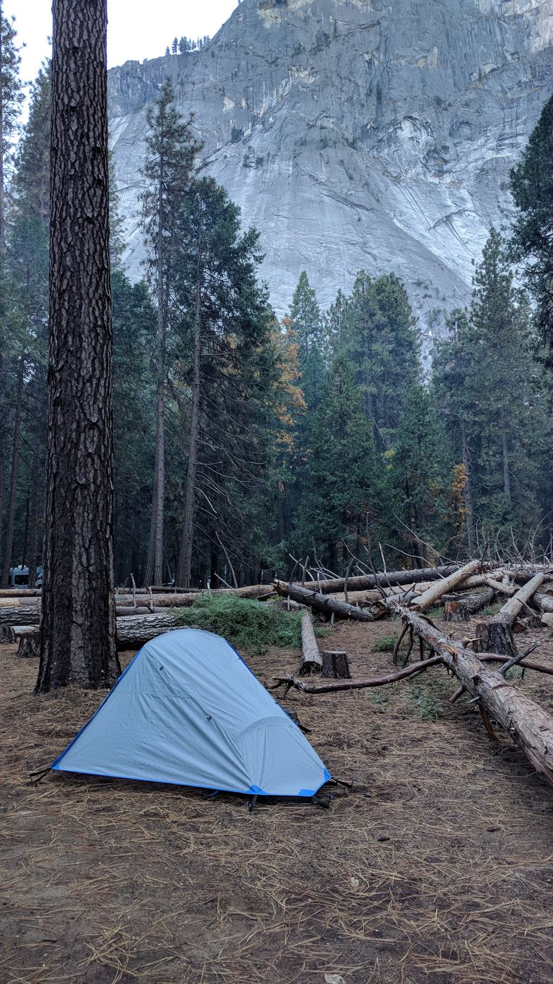
It looks cozier than it was. The coldest night I’ve ever spent.
Yosemite’s last Native residents lived in the valley’s Indian Village until 1969. As families moved out, the Park Service tore down or burned the empty cabins, some of them for firefighter training.
Camping in the valley
Elevation
The valley floor sits around 4,000 feet. Late fall nights can drop to freezing even after mild afternoons.
Booking
Valley campgrounds are reserved through Recreation.gov and fill up fast. Book as early as you can.
Pack
A sleeping bag rated colder than you think you need.
Food
Food, trash, and anything scented, even toothpaste and lip balm, go in the metal bear locker at your site.
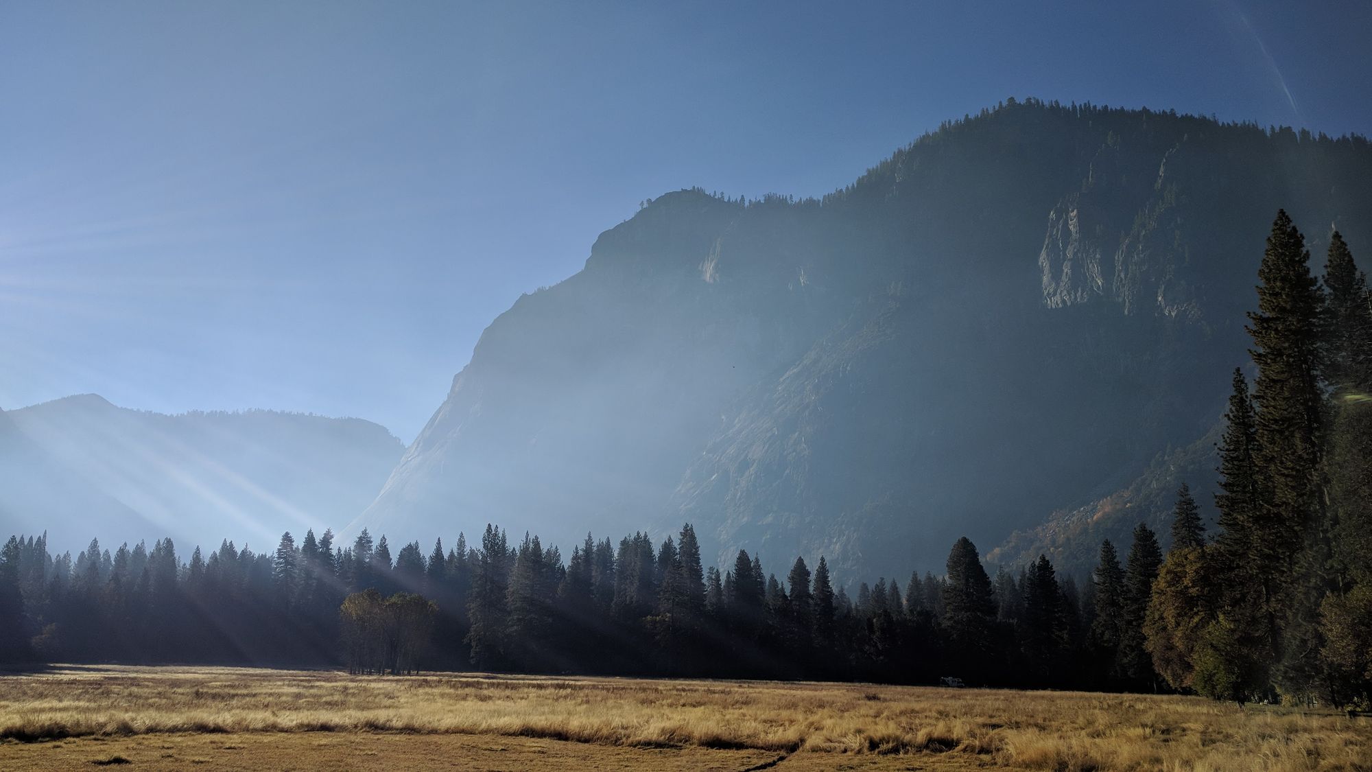
Sun over the valley wall, haze over the meadow, and feeling back in my fingers. Please stay on trails and boardwalks here; the meadows are fragile and take years to recover from foot traffic.