Marin, Napa, Sonoma, and Mendocino · 2019, 2023, and 2024
North of the Golden Gate, California turns into redwoods, cold surf, and wine country. For thousands of years this was the land of the Coast Miwok, the Pomo peoples, and the Wappo. Then came, in quick order, Russian fur traders, the Gold Rush, the Army, and the lumber mills.
Most of what visitors love here was saved by someone: a grove, a beach, a stretch of coast. It is worth asking what each place was saved from, and who it was saved for. The photos here are the postcard. The small print under each one is the rest of the story.
Tap a numbered pin on the map to jump to that stop.
The RouteSouth to north
California’s North Coast drawn from real elevation data (AWS Terrain Tiles, built from USGS and other public sources). Contour lines every 1,000 feet. Roads are simplified and pins are approximate. Tap a pin to jump to that stop.
Some backgroundBefore the stops
Who the coast was saved for
The short version: who lived here, who arrived, and who got to decide what was worth keeping.
A short history of the North Coast
Thousands of years
Coast Miwok, Kashaya and other Pomo peoples, and the Wappo live along this coast and in these valleys.
1812 to 1841
The Russian-American Company builds Fort Ross on Kashaya Pomo land and brings Alaska Native hunters to take sea otters. By the late 1830s the otters are nearly gone, and the Russians sell out.
1848 and 1849
Gold is found in the Sierra. Sam Brannan stocks stores with mining supplies, then walks through San Francisco waving a bottle of gold. His store at Sutter’s Fort takes in $150,000 a month.
1856 and 1857
The government sets up the Mendocino Indian Reservation on the coast, and the Army builds a post to control it: Fort Bragg.
1859
Brannan buys land at the top of Napa Valley and founds Calistoga as a hot springs resort.
1865 to 1869
The reservation is closed. Many of its people are marched inland to Round Valley, and the coastal land is sold for $1.25 an acre.
1870s
A homesteader finds stone logs near Calistoga and starts charging admission.
1885
In St. Helena, an “Anti-Coolie League” tries to buy out the Chinatown whose workers dug the valley’s wine caves. The merchants take it to federal court and stay.
1906 to 1967
After the earthquake, Fort Bragg pushes its trash over the cliffs into the sea.
1908
William Kent gives Muir Woods to the nation to stop a water company from flooding it.
1913
In Congress, Kent helps pass the law that lets San Francisco flood Hetch Hetchy in Yosemite.
1920s and 1930s
More than 100,000 tons of Goat Rock are blasted away for a jetty at the mouth of the Russian River. The jetty fails.
1972 and 1976
California voters create the Coastal Commission, and the Coastal Act follows, with public access to the coast as one of its goals.
2020 to 2022
Fort Bragg considers a new name. It keeps the old one.
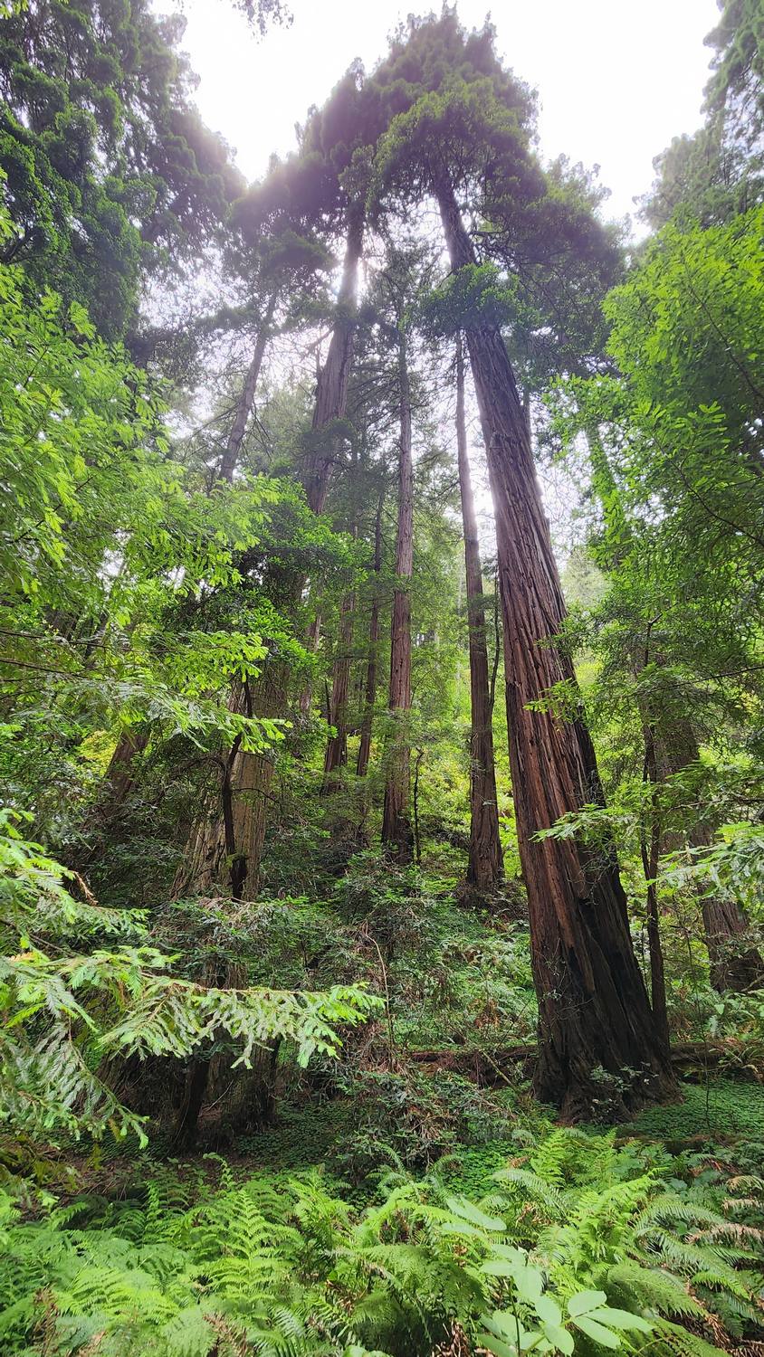
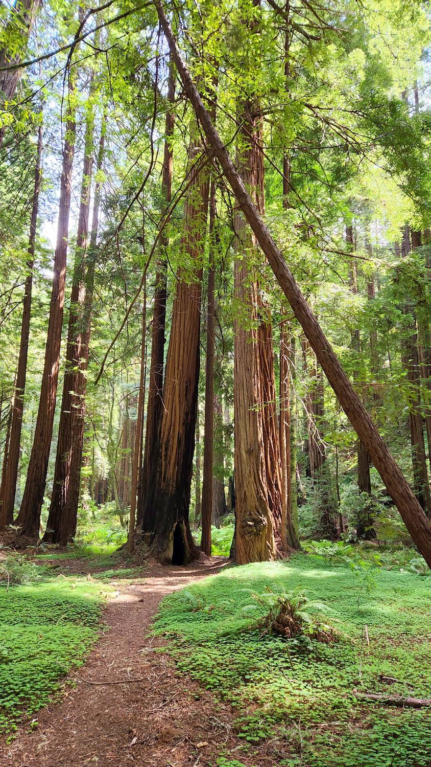
Just north of the Golden Gate, and the only thing to do is tip your head back.
William Kent gave this grove to the nation in 1908 to keep a water company from flooding it, and named it for his friend John Muir. Five years later, in Congress, Kent helped pass the law that flooded Hetch Hetchy in Yosemite. It cost him Muir’s friendship.
Muir Woods quick facts
The trees
Coast redwoods, the tallest trees on Earth.
Protected
Declared a national monument by President Theodore Roosevelt on January 9, 1908, using the Antiquities Act.
Visiting
Since 2018, parking and shuttle seats have to be reserved ahead of time.
Kent spent his three terms in Congress arguing to keep Asian immigrants from owning land or becoming citizens. The Park Service now tells that part of his story, too.
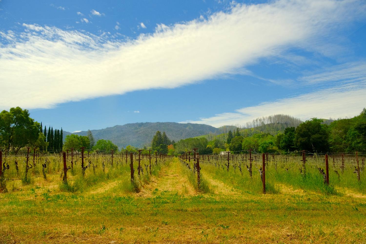
Where I stayed for the Napa Valley part of the trip, with vineyards right outside and a sky that looked painted on.
Chinese workers dug the wine caves at Beringer, right here in St. Helena, by hand. By the 1880s they were up to 80 percent of the valley’s vineyard labor. In 1885, 300 locals formed an “Anti-Coolie League” and tried to buy Chinatown out from under them. The merchants hired a lawyer and refused to move.
St. Helena quick facts
Where
Near the middle of Napa Valley, on Highway 29, between Napa and Calistoga.
The caves
The Beringer caves run more than 1,200 feet, dug with picks and shovels.
4The Petrified Forest, Calistoga2024, late afternoon
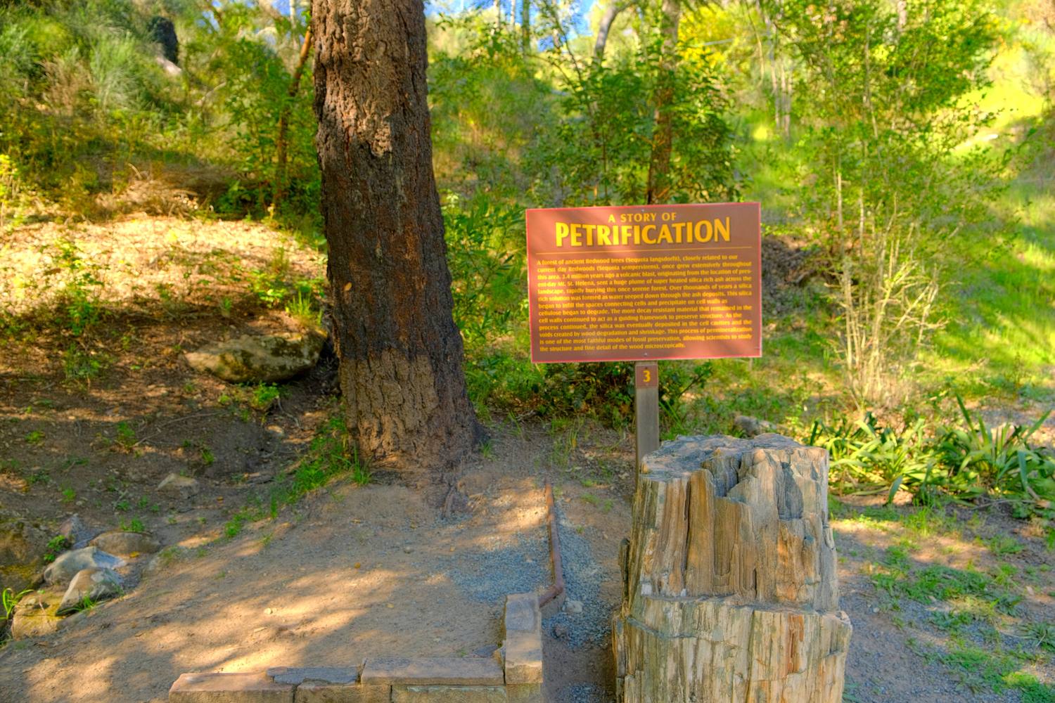
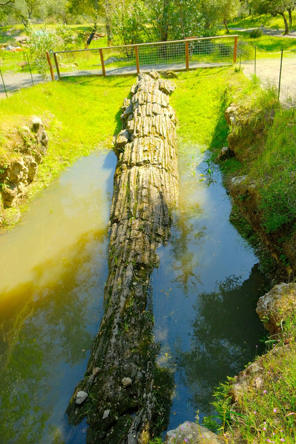
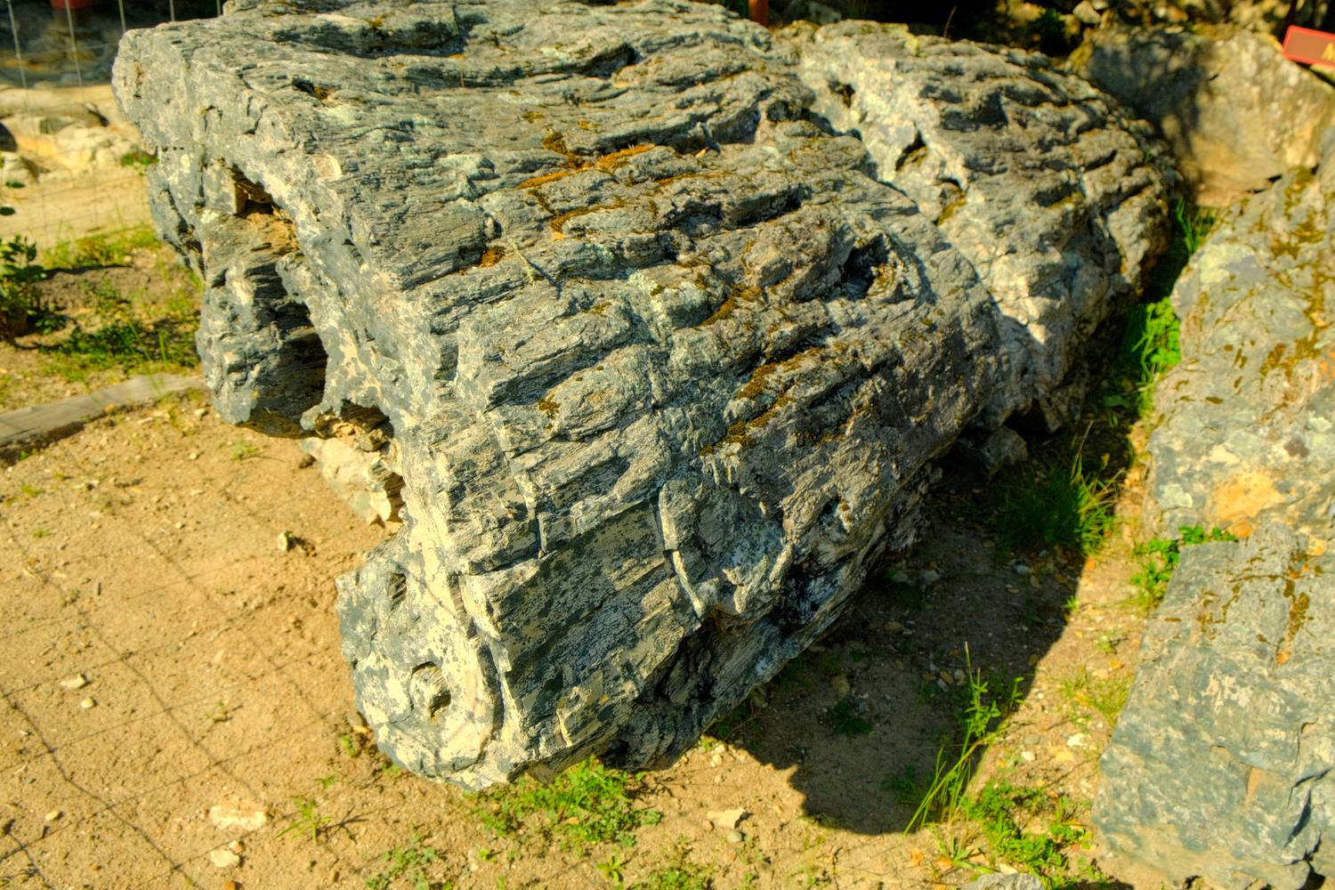
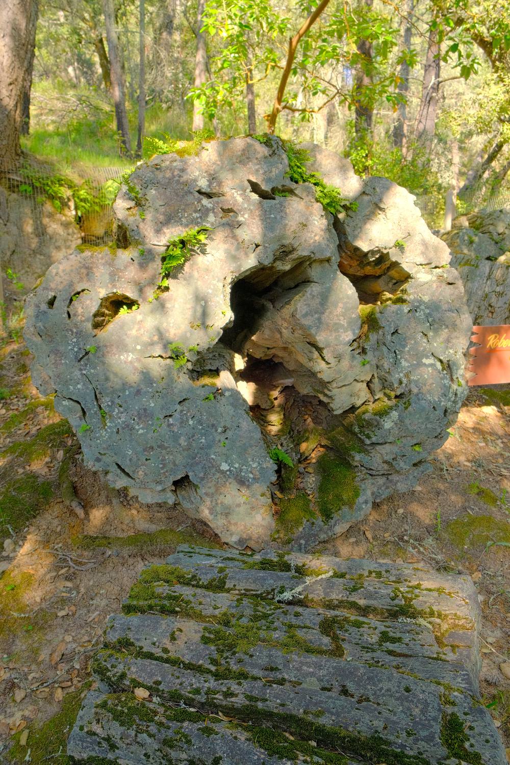
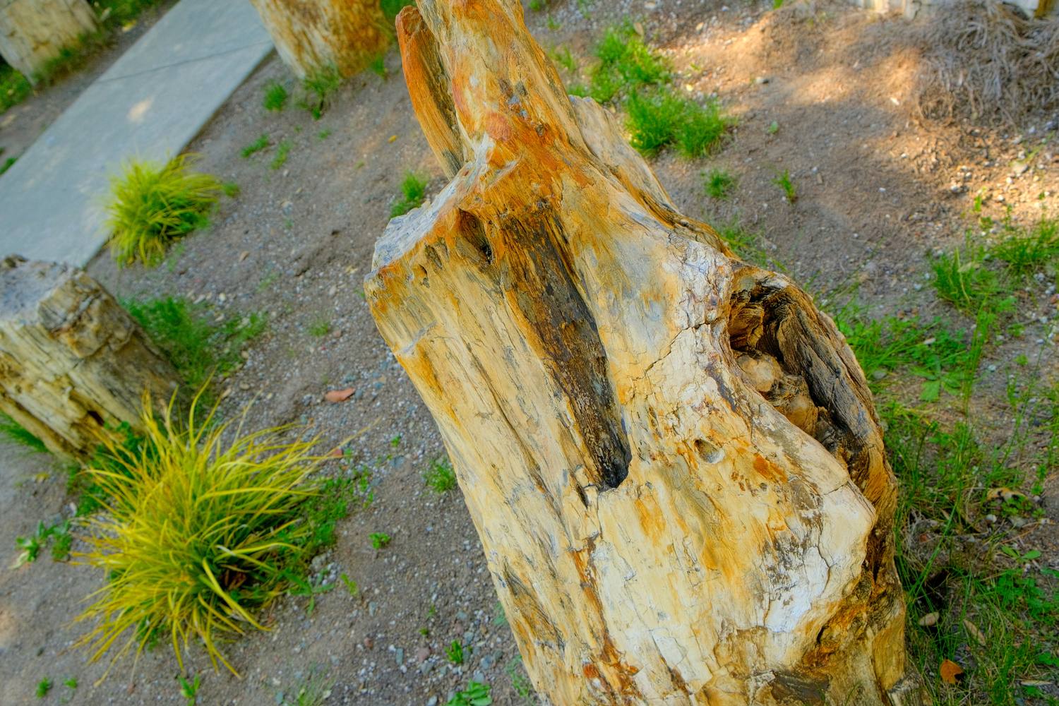
First, the science lesson.A stone log lying in its own little moat.You can still read the bark.Hollow all the way through.Minerals doing the painting.
1 of 5
Redwoods, turned to stone
A short loop through the woods, past trees that fell a few million years ago and never rotted.
The Wappo lived in this valley for thousands of years. By the time a homesteader started charging admission to see these logs in the 1870s, war and disease had nearly driven them out.
Petrified Forest quick facts
How it happened
A volcanic eruption about 3.4 million years ago knocked down a redwood forest and buried it in ash. Over time, silica soaked into the wood and turned it to stone.
The volcano
Seven miles northeast, in what is now Mount St. Helena.
Found by
Charles Evans, known as “Petrified Charley,” around 1870.
Owned by
One family since 1914. It is a private park, not a state one.
4The Petrified Forest, CalistogaA few minutes later
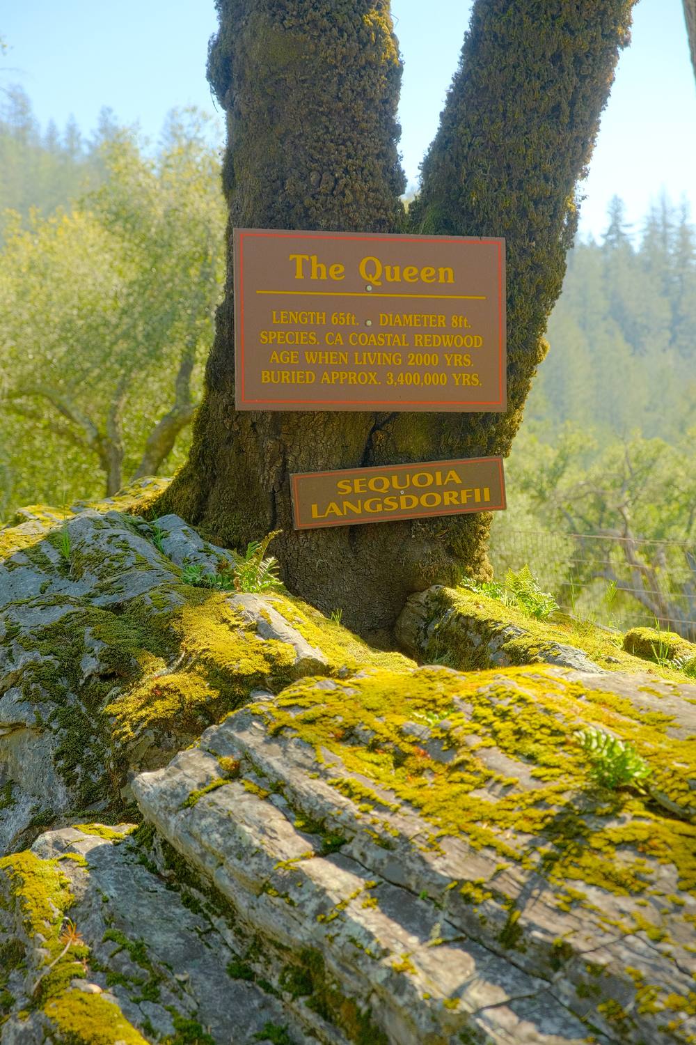
The Queen
A living tree growing right out of a stone redwood. The old and the older.
Calistoga was founded in 1859 by Sam Brannan, the man who stocked up on mining supplies before he ran through San Francisco shouting about gold. Robert Louis Stevenson visited these logs in 1880 and wrote that he was “mightily unmoved.”
From this visit
The species
The sign names it Sequoia langsdorfii, an ancient relative of today’s redwoods.
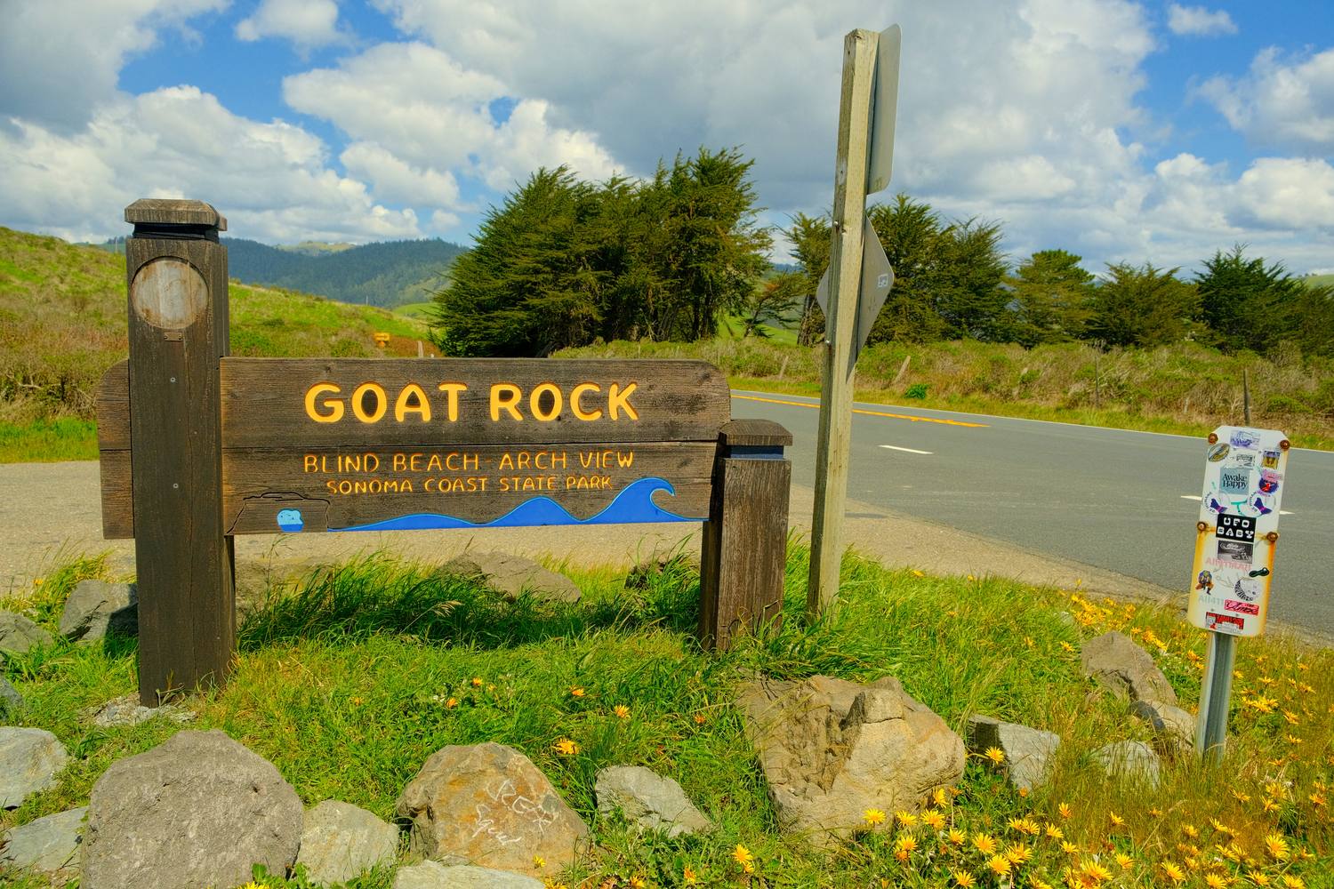
Yellow wildflowers, blue sky, and a sign pointing three good directions at once.
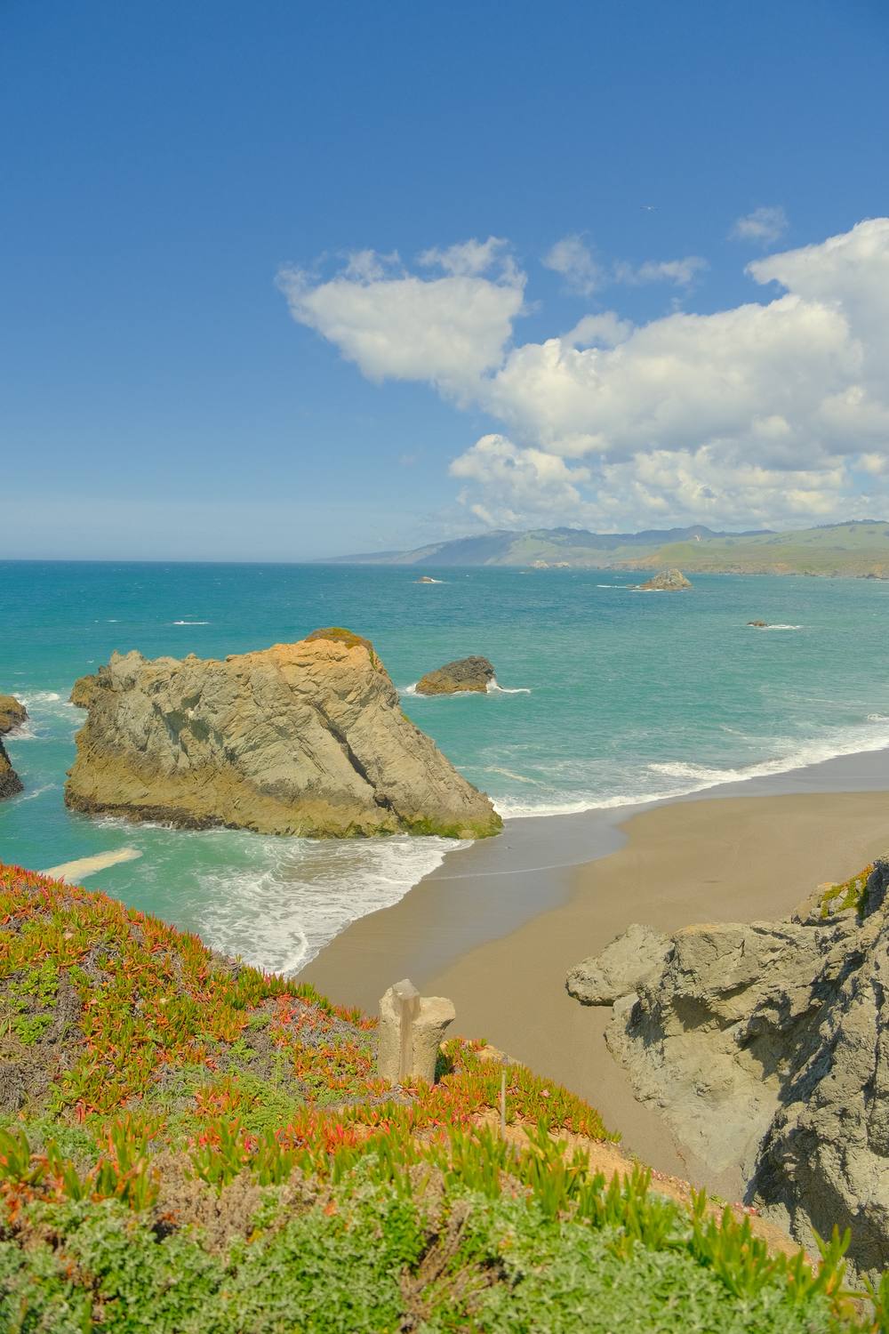
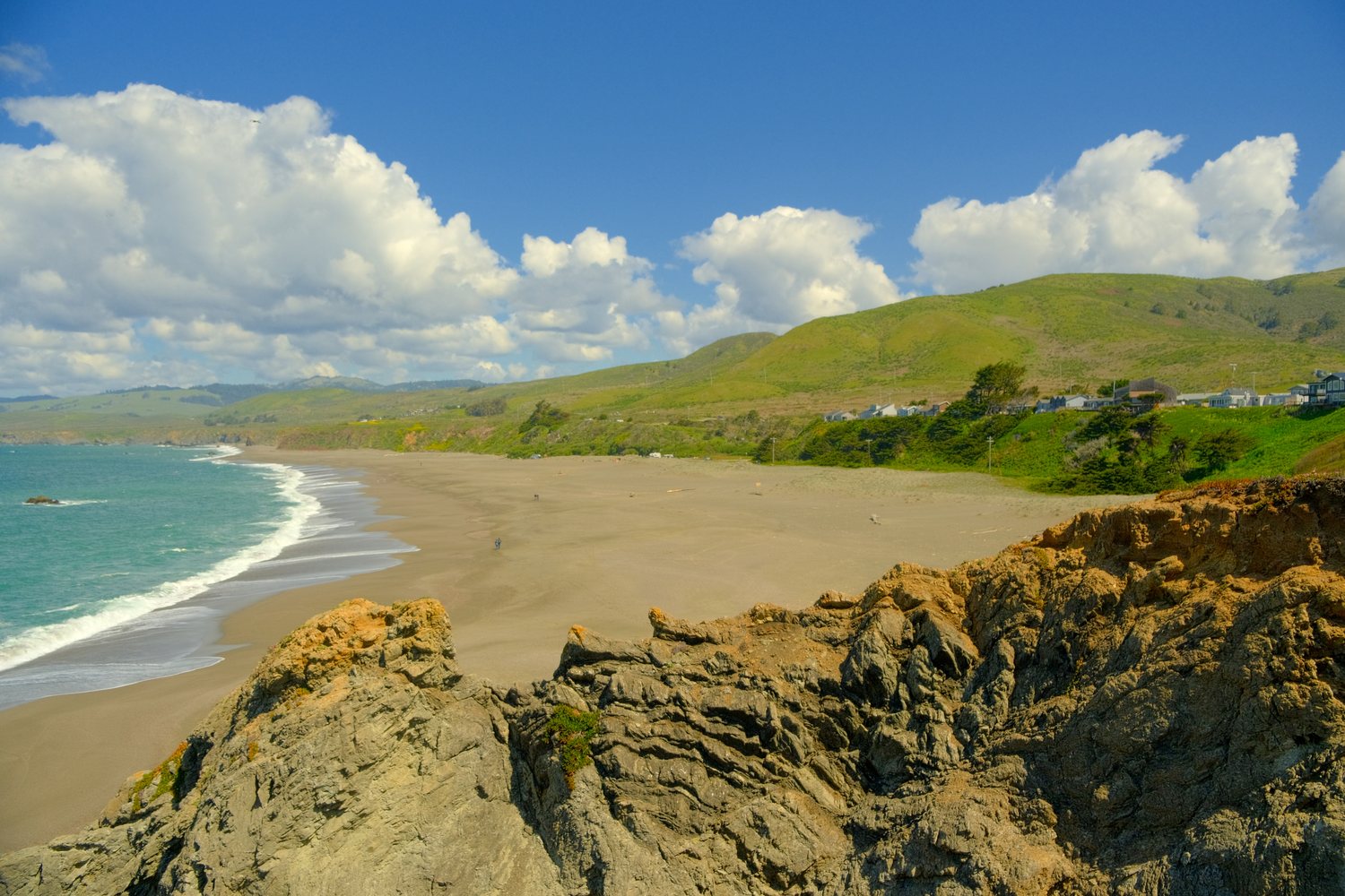
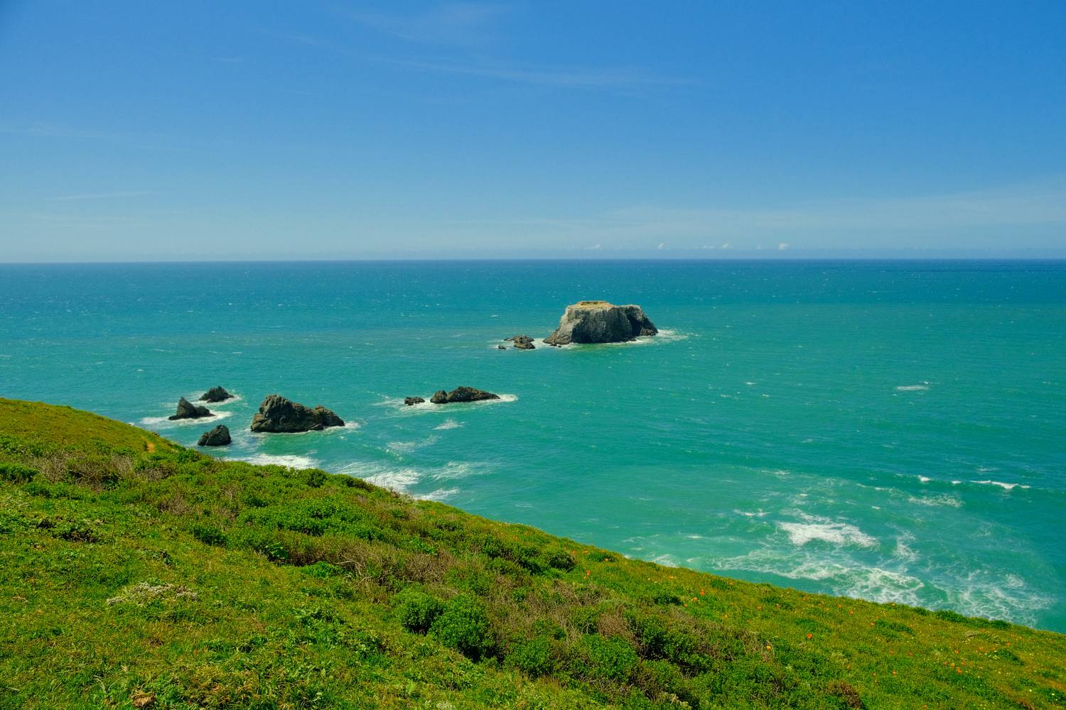
Goat Rock used to be joined to the shore. In the 1920s and ’30s, more than 100,000 tons of it were blasted off for a jetty to keep the Russian River’s mouth open for ships. The jetty failed.
Goat Rock quick facts
Where
Sonoma Coast State Park, just south of where the Russian River meets the ocean at Jenner.
Look, don’t swim
Cold water, strong currents, and sneaker waves. Keep an eye on the ocean.
Northern California water doing its best Caribbean impression.
A few miles up the coast, the Russian-American Company built Fort Ross in 1812 on Kashaya Pomo land and brought Alaska Native hunters to take sea otters. By the late 1830s the otters were nearly gone, and in 1841 the Russians sold out.
Anyone can walk this beach partly because of a vote. In 1972, Californians created the Coastal Commission, and public access to the shore became state law four years later.
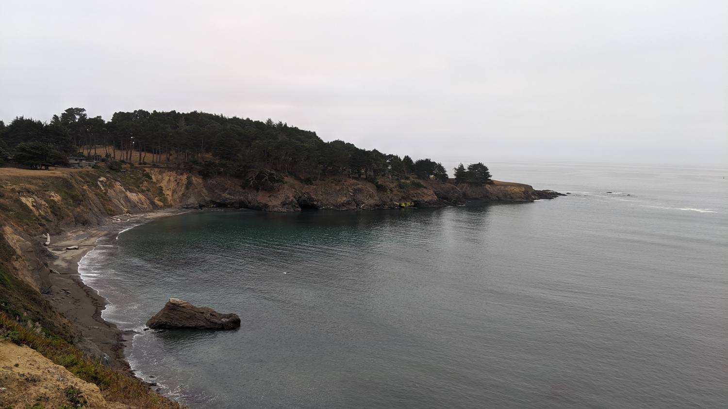
A gray evening on the Mendocino coast, and the water as still as a lake.
In 1856 the government set aside a reservation along this coast for the Pomo and neighboring peoples. Within ten years it was closed, many of its people were marched inland to Round Valley, and the land was sold for $1.25 an acre.
Fort Bragg began in 1857 as an Army post to control that reservation. It was named for Braxton Bragg, who later became a Confederate general. After 2020 the town talked about a new name. It kept the old one.
Glass Beach quick facts
Where the glass came from
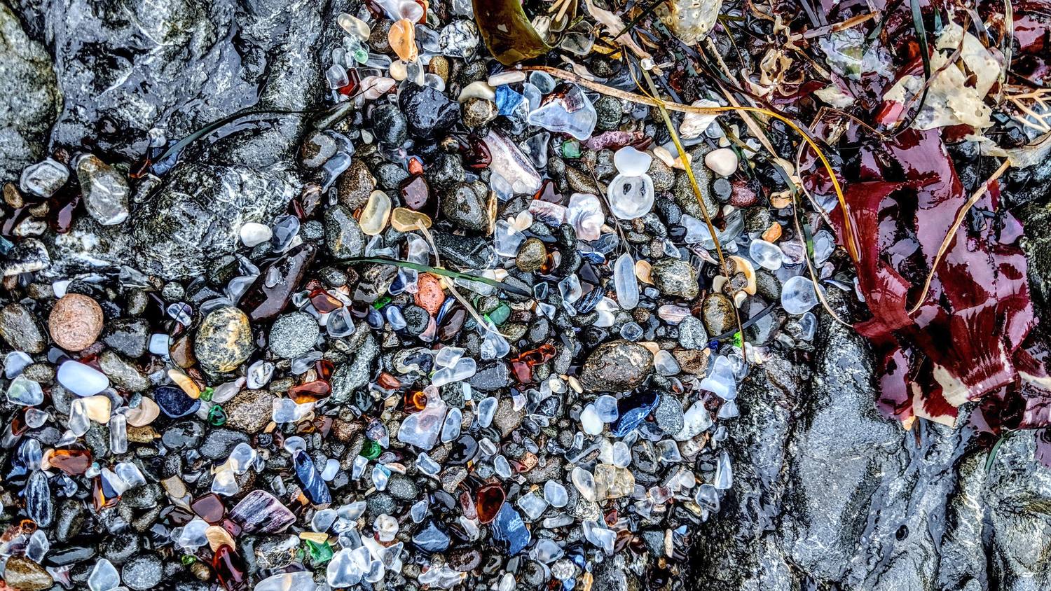
After the 1906 earthquake, the town began dumping its trash over the cliffs here. It kept going until 1967, across three dump sites.
What the ocean did
Waves broke the glass and pottery down and tumbled the pieces smooth.
Protected
California State Parks took over the newest site in 2002, and it is now part of MacKerricher State Park.
Please leave it
Taking glass is illegal and can bring a fine of up to $500.
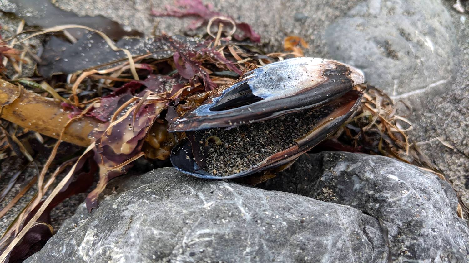
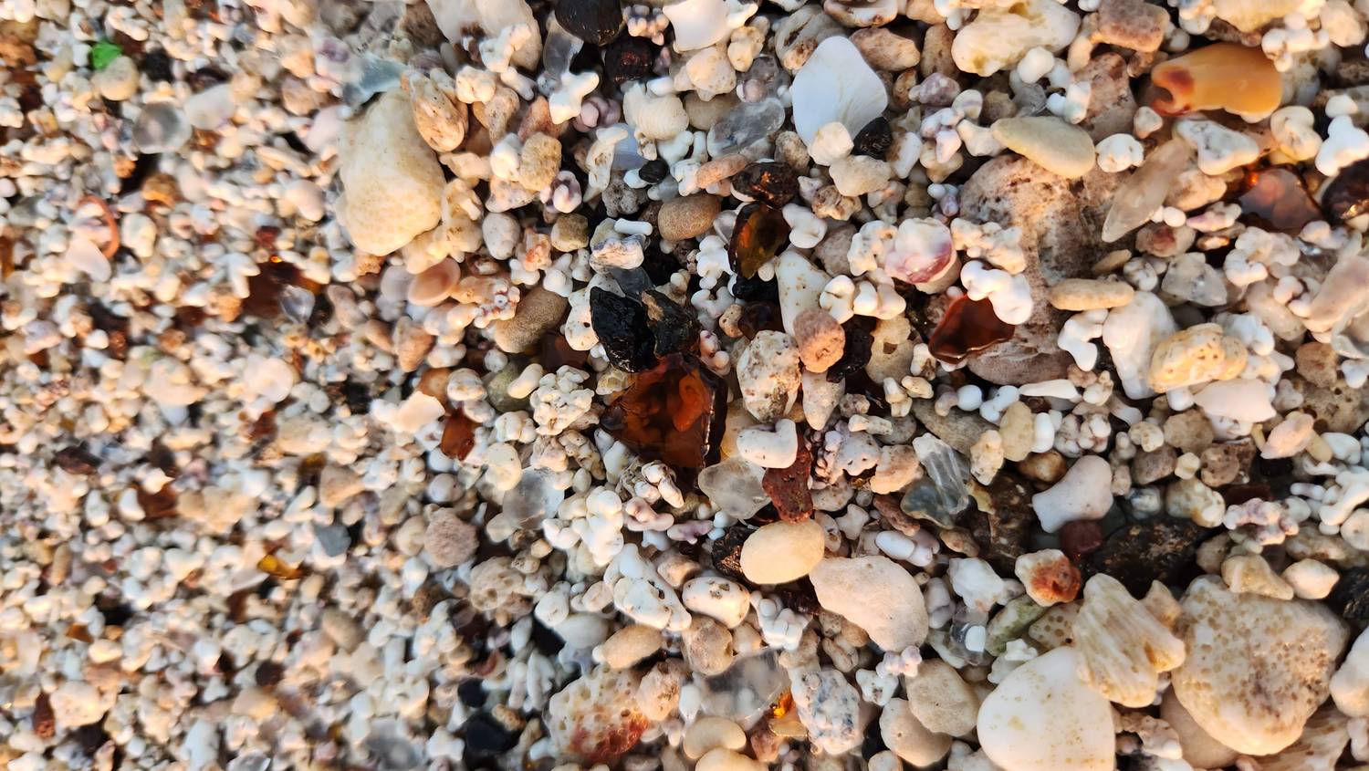
↔️Interactive photo. Drag the handle (or use the arrow keys) to compare Fort Bragg’s Glass Beach with the one on Kauaʻi.
↔
Fort Bragg, 2019Kauaʻi, 2022
Same story, two oceans
Twenty-four hundred miles apart, and both beaches are made of the same thing: what people threw away. Fort Bragg’s is mostly glass. Kauaʻi’s is mostly coral and shell, with the glass mixed in.
Both were town dumps. People stood on the cliffs and threw the trash into the sea, and a century of waves turned it into something people now drive hours to see.
Details checked September 2026. Reservations, closures, and access rules change, so check with each park before you go. Map elevation: AWS Terrain Tiles (Mapzen / USGS).